Iceland Weather
Live weather from every reporting station in Iceland — around 290 of them, including the Vegagerðin road stations on the mountain passes and heaths. Temperature, wind and gusts are measured and refresh every ten minutes. Iceland's weather changes fast, and gusts are what actually ruin a drive, so check your route before you set off.
Every marker on the map shows sky, temperature and wind together, and you can step forward through the day or zoom in to find the station nearest the pass you are about to drive.
What wind speed is dangerous when driving in Iceland?
Wind is measured in metres per second here, not km/h or mph. Above about 15 m/s you should hold car doors firmly — wind ripping a door off its hinges is one of the most common rental car claims in Iceland, and it is not covered by standard insurance. Above 20 m/s, high-sided vehicles and campervans become genuinely difficult. Above 25 m/s, avoid exposed roads entirely. Gusts matter more than the average, which is why our map shows gusts in brackets.
Why is the weather so different across Iceland on the same day?
Iceland is roughly the size of Ireland with mountains, glaciers and open ocean on every side, so it is completely normal for the south coast to be at 12°C and raining while the north is at 3°C and clear. Altitude matters just as much: a coastal town and a mountain pass twenty minutes inland can differ by ten degrees and thirty metres per second of wind. That is why we show each station's height above sea level.
When do Iceland's highland and F-roads close?
Highland F-roads are typically closed from around October until mid-June, and exact opening dates vary each year with snowmelt. Mountain passes on the ring road can close at any time in winter at short notice. Always check road.is for closures and safetravel.is for alerts before setting off — our map shows conditions at the road stations along those routes, but it does not report whether a road is open.
What is the best time of year to visit Iceland for weather?
June to August gives the mildest temperatures, near-24-hour daylight and the most reliable road access, but no darkness and therefore no northern lights. September and early October are a common compromise: roads are still mostly open and the nights are dark enough for aurora. November to March brings the strongest storms and the shortest days, but also the best aurora odds and the winter landscape.
How often is this weather data updated?
Observations come from the Icelandic Met Office and refresh every ten minutes across roughly 290 stations, including the Vegagerðin road stations on mountain passes. Each reading shows how many minutes old it is. The hourly outlook comes from a forecast model and is labelled separately, so you always know which figures are measured and which are predicted.
What the weather actually does, by region
The map above is live. These are 20 years of measurements — rain hours, gusty days, snow and clear night skies for every month.
South Iceland · East Iceland · West Iceland · North Iceland · Reykjavik & Capital Area · Reykjanes Peninsula · The Highlands · Westfjords
Aurora forecast · When and where to see the northern lights · Destinations · Driving distances
Whatever it is doing out there
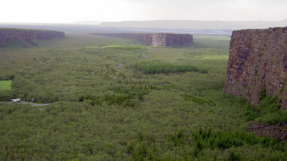
Step inside Asbyrgi — narrated, and dark enough for the lights when the sky clears.