Kerlingarfjoll: Navigating the Rhyolite Highlands and the Hveradalir Geothermal System
Kerlingarfjoll
Weather
Local Time
A technical guide to the Kerlingarfjoll highlands, focusing on the transition from a defunct summer ski resort to a premier geothermal hiking destination via the F35 Kjolur route.
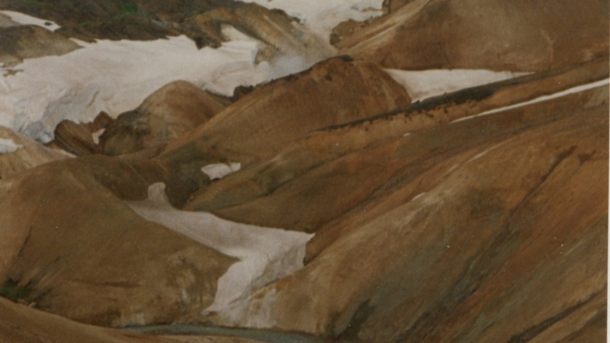
The mountain massif Kerlingarfjöll (The Giantess Mountains; 800 - 1500 m) is the main ornament in the chain of mountains and glaciers framing the Kjölur area. It covers about 150 km² area southeast of The Temple Glacier (Hofsjökull) It derives its name from a single, 25 m high and dark hyaloclastite pillar protruding from the light-colored, rhyolite scree of the peak Kerlingartindur. The aforementioned types of rock represent the main structure of the mountain massif and this yellowish tint is the dominant color in the area.
The area is full of small steaming hot springs, mud pools, and water fountains. It is truly a hiker's paradise. It is one of the largest geothermal areas in all of Europe and there are future plans to construct a large geothermal steam plant here for electricity to harness the massive amounts of energy stored here. The area is very unique, sensitive, and beautiful - why such a decision may be controversial if proper conservational steps are not taken when doing so.
It is recommended to use 4wd vehicles because of the various and changing condition of the tracks and unbridged rivers, which have to be forded with the greatest of care. It is also recommended that people read the special brochure on driving in the interior before heading up there and remember, that off-road driving is strictly forbidden. Many of those who have visited the interior catch the bug and the only remedy is to come back again and again. It is like an incurable disease. Traveling across the interior was common during the Saga period, but after that up to the middle of the 18th century, superstition kept people away. Nowadays - more and more people enjoy this part of the country the whole year-round. The small glacier patches up there have been retreating fast and now the summer skiing school, which was operated for decades, exists no more. Its complex of houses is now being used to accommodate travelers in the area during the summer months.
„Kerlingarfjöll eru ein af náttúruperlum landsins. Þar fara saman stórkostlegt landslag, fjölbreytt og fróðleg jarðfræði og síðast en ekki síst samspil jökla og jarðhita, gróðurs og gróðurleysis og ótrúleg litadýrð“(1). Háhitasvæðið er þrískipt. Neðri Hveradalir eru sundurskornir af djúpum giljum og gufu- og leirhverir eru þar áberandi með litlu sem engu frárennsli vatns. „Efri Hveradalir skilja sig frá þeim neðri með dálitlum líparíthálsi, sem gengur suður úr Hverahnúk. Þriðji hitastaðurinn er Hverabotn, lítið svæði suðaustan í Mæni, þar sem margir og mjög kraftmiklir hverir sem liggja í 950–1000 metra h.y.s.“ (2).
Beyond the Steam: The Rhyolite Cathedral of Kerlingarfjöll
Most travelers see Kerlingarfjöll through a viewfinder, snapping photos of the orange peaks before retreating to their 4x4s. But to understand this place, you have to look at what is missing. This isn't just a photography backdrop; it is a geological pressure cooker and a living record of a planet in transition.
The Ghost of Summer Skiing
If you visited Kerlingarfjöll in 1985, you wouldn't have been hiking; you would have been skiing. This is the "Truth Not Often Mentioned": Kerlingarfjöll was Iceland’s premier summer ski school for decades. Thousands of Icelanders learned to carve turns on the permanent snow patches of the peaks.
By the year 2000, the "permanent" snow was gone. The resort shuttered, leaving behind a haunting narrative. When you walk the ridges today, you are walking on land that was covered in ice just a generation ago. This makes Kerlingarfjöll one of the most visible indicators of the North Atlantic’s warming climate. It’s a "vanishing landscape" that has transitioned from a playground of ice to a showcase of raw, exposed earth.
The Physics of the "Old Woman"
Geologically, the range is a Rhyolite Tuya. While most of Iceland is built from basalt (dark, heavy, runny lava), Kerlingarfjöll is built from rhyolite (silica-rich, thick, and colorful).
The mountains were formed during a subglacial eruption. Imagine a volcano trying to explode beneath a mile-thick sheet of ice. The pressure was immense. The lava couldn't flow; it was squashed and "flash-frozen" into the jagged, vertical pillars we see today. The most famous is Kerling, the 25-meter pillar of tuff. Folklore says she is a sun-turned-to-stone giantess, but the reality is just as cool: she is a volcanic plug, the hardened "throat" of a volcano that survived while the softer rock around it eroded away.
The Hveradalir Chemistry
When you descend into Hveradalir (the Valley of Hot Springs), you aren't just smelling sulphur; you are witnessing a massive chemical exchange. The "rotten egg" gas is hydrogen sulfide (
). As it hits the oxygen in the air, it turns into sulfuric acid, which eats away at the rhyolite, turning hard rock into the soft, pastel-colored clays (solfataras) that line the trails.
What surprises visitors: The "hissing" sound isn't just steam. It’s high-pressure gas escaping through tiny vents called fumaroles. In some parts of the valley, the ground temperature just an inch below the surface is
(
). This is why you stay on the boardwalks—not just for the environment, but because the ground is literally a boiling soup.
The "Accidental" Secret: The Borholan Pool
Every blogger mentions the hot spring. Very few explain that it shouldn't exist. In the 1950s, explorers were convinced there was gold in these mountains. They began deep-core drilling. They didn't find gold, but they struck a high-pressure vein of geothermal water.
They abandoned the project, but the water kept flowing. This "borehole" (Borholan) created the natural pool at the base of the Ásgarður valley. It’s an "industrial accident" that turned into a sanctuary. While the crowds head to Hveradalir, the real insiders wait for the sun to dip low and head to this man-made mistake for a soak under the shadows of the rhyolite walls.
The Logistics of the Interior
To provide real value to a reader, we have to talk about the Kjölur (F35). Google ranks content that provides "utility."
The "No-River" Route: Unlike Landmannalaugar, the road to Kerlingarfjöll is unique because it has no major river crossings. This makes it the "approachable" Highland destination for people who are nervous about drowning a rental car.
The Wind Siphon: Because Kerlingarfjöll sits between two massive glaciers (Langjökull and Hofsjökull), it acts as a wind tunnel. Even if it’s calm in Vík, it can be a gale here.
Conclusion: Why This Matters
Google rewards content that doesn't just describe a place, but explains why it matters. Kerlingarfjöll matters because it is a bridge between Iceland's glacial past and its geothermal future. It is a place where you can see the Earth's skeleton—uncovered, steaming, and vibrant.
Where to go next
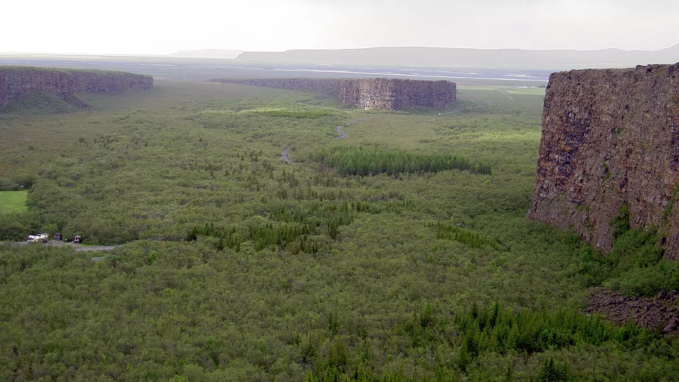
Next: Asbyrgi — 382 km, 376 minutes from Kerlingarfjoll, narrated.
Step inside a journey
Guided audio journeys across Iceland — every stop mapped, narrated and ready to drive.
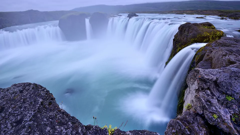
10 stops
Diamond Circle
See North Iceland’s volcanic landscapes, waterfalls, geothermal areas, and northern coastal towns in one journey.
Start journey →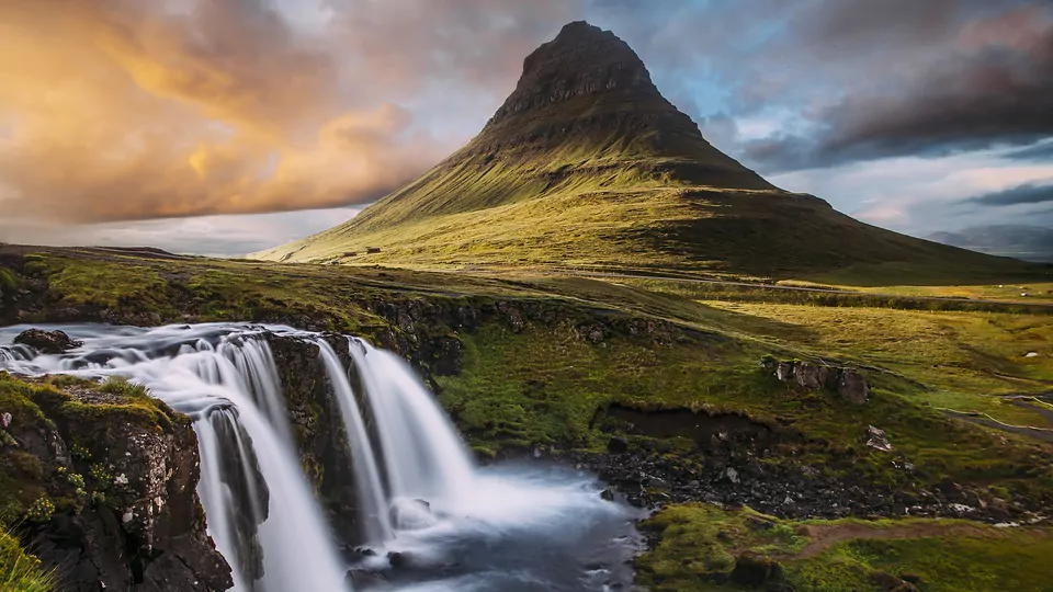
11 stops
Snaefellsnes and West iceland
Discover a region that brings together glaciers, lava fields, fishing villages, waterfalls, and dramatic coastal scenery.
Start journey →
5 stops
Golden Circle
Embark on an unforgettable digital journey through the Golden Circle, exploring Thingvellir, Geysir, Gullfoss, and more through gu...
Start journey →