Egilsstadir: The inland gateway to the Eastfjords
Egilsstadir
Weather
Local Time
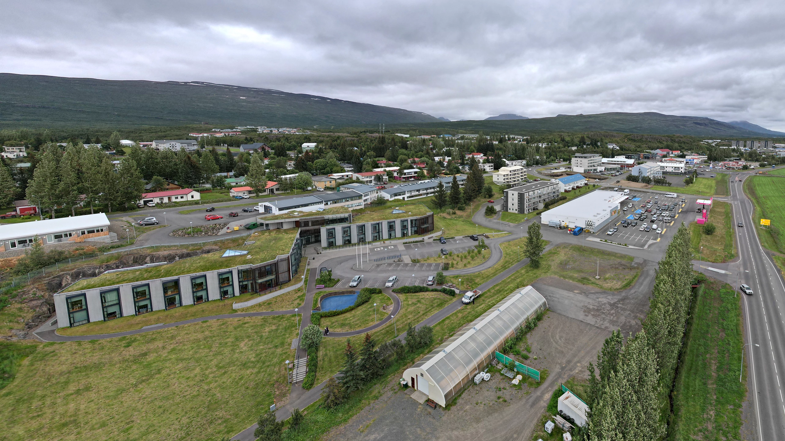
A functional 20th-century hub that offers a different side of Iceland, from warmer summer temperatures and wild reindeer sightings to the mysteries of Lagarfljot lake.
Diverse services, diverse entertainment
Egilsstaðir gets its name from a large farm in the area. A good starting point for a trip around Egilsstaðir are the panoramic views in Hamrar, above the old slaughterhouse, which is now a cultural center. Near Egilsstaðir church there is a former execution site at the cliff, Gálgaklettur, now commemorated by a plaque. From the church, there is ... Egilsstaðir is a rare anomaly in the Icelandic landscape. While almost every other major settlement on the island was born from a fishing pier or a medieval farmstead, Egilsstaðir was a deliberate 20th-century invention. Established in 1947 at the junction of the Ring Road and the route to the Eastfjords, it serves as a "service hub"—but to dismiss it as merely a pit stop is to miss the fascinating geological and climatic shift that happens here. The "Continental" Microclimate Visitors are often shocked by the weather in Egilsstaðir. Because it sits inland, shielded from the Atlantic's damp, salt-laden winds by the massive Eastern Fjord mountains, it experiences a "continental" climate. In the summer, while Reykjavík might be shivering in a 12°C drizzle, Egilsstaðir frequently basks in 20°C heat and sunshine. Conversely, winter here is crisp, still, and significantly colder, making it one of the most reliable places in Iceland to view the Northern Lights without coastal fog interference. The Origin Gap: A Town Without a Port The most surprising truth about Egilsstaðir is its age. In a country where history is measured in centuries and sagas, Egilsstaðir is a "new" town. It was founded to provide central services to the farmers of the Fljótsdalur valley. This lack of a maritime history gives it a different architectural and social energy; there are no colorful wooden warehouses or old docks. Instead, you find a functional, spacious town designed for logistics, forestry, and high-altitude mountain transit. Hidden Mechanics: The Silt and the Monster The town sits on the banks of Lagarfljót, a glacial river-lake that is a masterclass in glacial hydraulics. The Silt: The water is notoriously opaque and milky-grey. This is due to "glacial flour"—fine rock particles ground down by the Vatnajökull ice cap and carried north. The Myth: This opacity is the foundation of the Lagarfljótsormur (the Great Lake Worm) legend. Because the water is so thick with silt, it is impossible to see beneath the surface, allowing the 1,500-year-old myth of a massive serpent to persist in the local imagination. The Spatial Contrast: Egilsstaðir vs. Seyðisfjörður Travelers often debate whether to stay in Egilsstaðir or push 27 km over the mountains to Seyðisfjörður. The technical contrast is stark. Seyðisfjörður is a "pocket" town—trapped in a steep, narrow fjord where the sun disappears behind the mountains early in the day. Egilsstaðir, by contrast, is a wide-open plateau. While Seyðisfjörður offers aesthetic charm, Egilsstaðir offers stability. When the Fjarðarheiði mountain pass shuts down during a winter storm (a common occurrence at 600 meters elevation), Egilsstaðir becomes the vital "safe harbor" for everyone in the region. The Reindeer Connection Egilsstaðir is the unofficial capital of Iceland’s reindeer population. Introduced from Norway in the 18th century, these animals only survived in East Iceland. During the winter, the herds descend from the high tundra to the lowlands surrounding the town to find food. It is one of the few places on Earth where you can see wild reindeer grazing alongside a major domestic airport.Where to go next
Next: Asbyrgi — narrated, and free to walk into.