Reykjanes Lighthouse: A Sentinel at the Edge of the Tectonic Divide
Reykjanes Lighthouse
Weather
Local Time
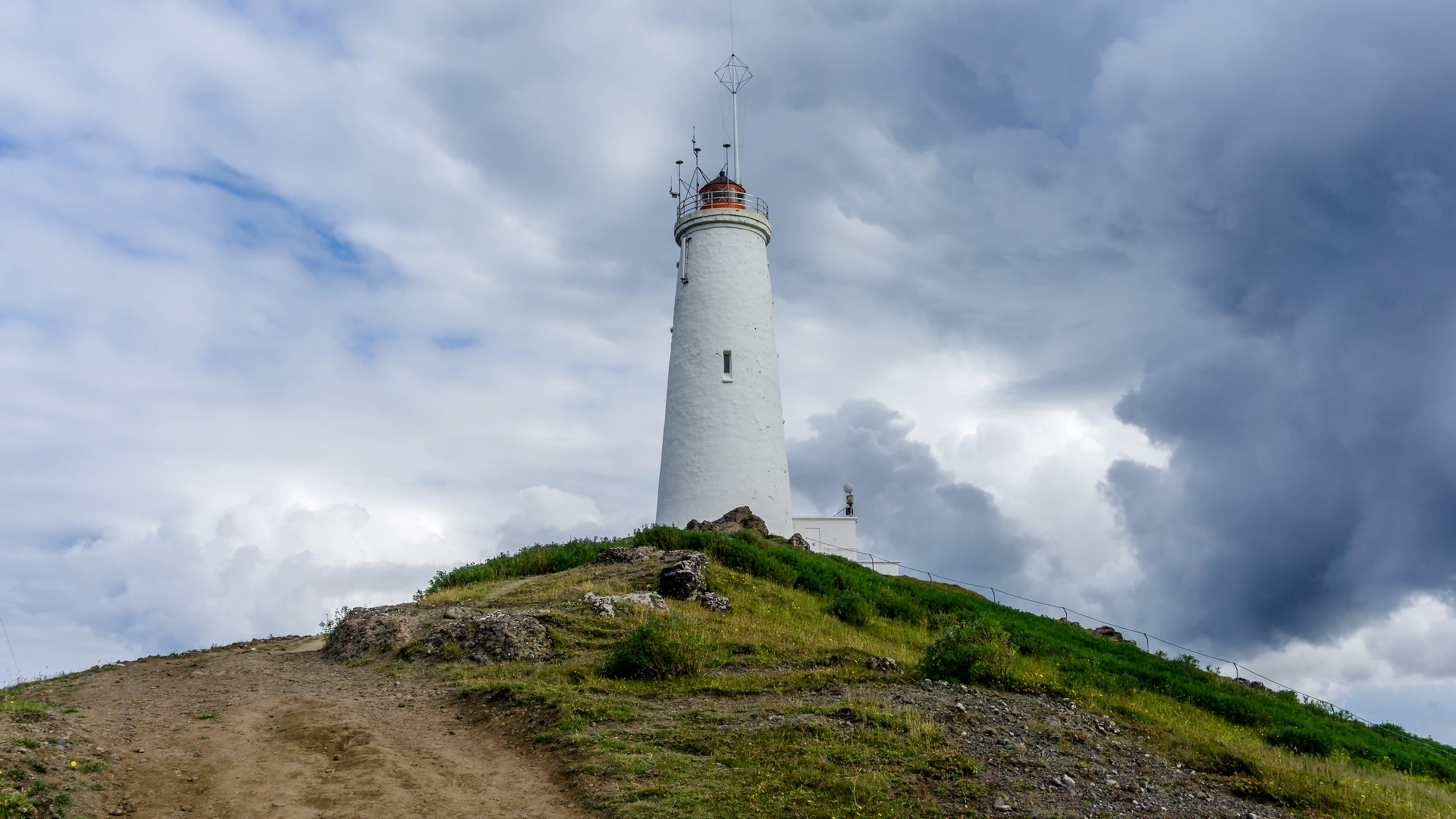
Standing atop the windswept Baejarfell hill, Reykjanesviti guards the treacherous waters of the North Atlantic while overlooking one of Iceland's most active geothermal landscapes.
A large nature reserve ideal for recreation and to explore in the nature. The nature reserve is about 300 square kilometres and is by far the largest region of its kind in Iceland. It is bordered in the east by the districts of Gullbringa and Árnessýsla and in the north it connects with the Bláfjöll nature reserve. The western borders of the nature reserve are west of Undirhlíðar and Núpshlíðarháls hill and a straight line to the sea at Selatangar, a former fishermens´ station. The southernmost borders follow the coastline. The only big lake is Kleifarvatn. The land is very hilly, two very distinctive ridges cut through the landscape in NA-SV direction and they are about 300-400 metres above sea level, Núpshlíðarháls and Sveifluháls. Brennisteinsfjöll are located in the easternmost part of the nature reserve and there are a few mountains that are 500-600 metres above sealevel. Seltún is very active hotspring area and was once to become the source for providing the Hafnarfjörður municipality with hot water for space heating. On the coast is the largest birdcliff on the peninsula, Krýsuvíkurberg, where approx. 50.000 seabirds are nesting. Easy access hiking and walking trails are to be found in many places and attractive ponds and lakes are on top of some of the hills.
„Jarðhitasvæðið á Reykjanesi er um það bil einn ferkílómetri að stærð sé einungis miðað við hverina og önnur sýnileg jarðhitamerki. Jarðhitasvæðið er að mestu þakið hraunum, en móbergs- og bólstrabergshryggir standa upp úr. Einn þeirra, Rauðhólar, nær inn á jarðhitasvæðið. Þar voru fyrstu vel heppnuðu vinnsluholurnar boraðar. (...) Á jarðhitasvæðinu hafa goshverir komið upp endrum og eins, raunar tvisvar á síðustu öld í tengslum við jarðskjálftahrinur. Þeir gjósa jarðsjó, en hafa reynst skammlífir. Langlífari hefur verið goshver í svo kölluðum Kísilhól sem nú er óvirkur. Hann er úr móbergi með meter þykku kísilhrúðri ofan á.“
The lighthouse has stood its watch since 1908 and is a popular destination in the area.
„Jarðhitasvæðið á Reykjanesi er um það bil einn ferkílómetri að stærð sé einungis miðað við hverina og önnur sýnileg jarðhitamerki. Jarðhitasvæðið er að mestu þakið hraunum, en móbergs- og bólstrabergshryggir standa upp úr. Einn þeirra, Rauðhólar, nær inn á jarðhitasvæðið. Þar voru fyrstu vel heppnuðu vinnsluholurnar boraðar. (...) Á jarðhitasvæðinu hafa goshverir komið upp endrum og eins, raunar tvisvar á síðustu öld í tengslum við jarðskjálftahrinur. Þeir gjósa jarðsjó, en hafa reynst skammlífir. Langlífari hefur verið goshver í svo kölluðum Kísilhól sem nú er óvirkur. Hann er úr móbergi með meter þykku kísilhrúðri ofan á.“
One of the first lighthouses
At the south-west tip of the peninsula, on top of a hill stands the aptly named Reykjanesviti.The lighthouse has stood its watch since 1908 and is a popular destination in the area.
Where to go next
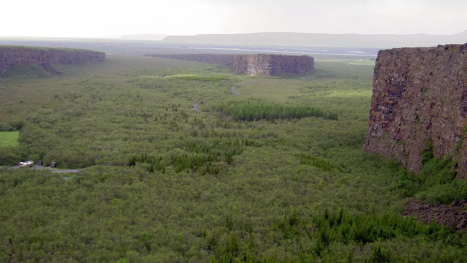
Next: Asbyrgi — narrated, and free to walk into.